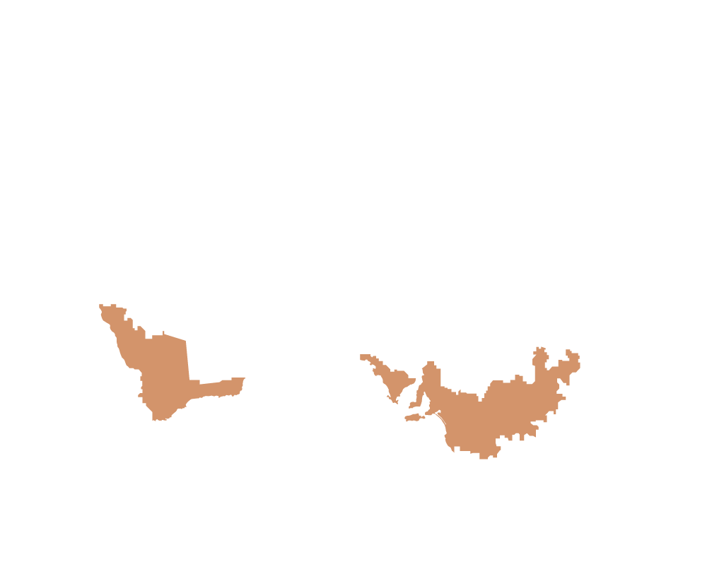


Wet temperate coast
The climate is predominantly wet and cool to warm. The primary agriculture is dairying, intensive cropping, beef grazing and horticulture.
Wet sub-tropical coast
The climate is warm and wet with rainfall throughout the year, but more dominant over summer. The principal agricultural activities are dairying, beef grazing, intensive cropping (including sugar cane) and horticulture.
Wet tropical coast and tableland
The climate is hot and wet with temperatures generally consistent. Rainfall over most of the year with occasionally a short dry period over summer. Agricultural production is beef grazing, intensive cropping and sugar cane.
Wet/dry northeastern tropics
The climate is hot and rainfall is summer dominant, with the winter dry. The whole region is used for beef production, but sugar cane, rice and other intensive agricultural production occur in the Burdekin River irrigation area.
Sub-humid, sub-tropical coasts and plains
The climate is characterised by hot summers and mild winters with uniform rainfall throughout the year tending to summer rainfall in the north of the zone. The eastern areas which are more elevated are noted for mixed wheat/sheep/cattle farming and large areas of irrigated cotton. Oil seed and summer cropping increases in the north, while grazing is the major land use in the west. The area is a valuable wheat production area, noted for the high quality of its grain.
Sub-humid, sub-tropical highlands
The climate is warm, with cool winters. Rainfall is uniform throughout the year, but tends to be summer dominant in the northern areas. There are large areas of land cultivated for pasture for sheep and cattle. The Hunter and Peel river valley irrigation areas support agricultural and horticultural industries.
Temperate seasonally dry slopes and plains
This area is the heartland of Australian agriculture because of the diversity of its agricultural industries and its high level of production. The climate is characterised by hot summers, cool winters and good winter-dominant rainfall. It has extensive areas of land cultivated for cereal crops and pasture, and is a major wheat/sheep/cattle production zone. Throughout the eastern region extensive irrigation areas, particularly along the Murray, Murrumbidgee and Goulburn rivers, support a wide range of intensive agricultural production, including fruit and rice growing and dairy production.
Semi-arid tropical and sub-tropical plains
The climate varies between hot with a wet summer/dry winter in the north and warm to hot with low rainfall in the centre. Extensive cattle and sheep grazing are the predominant land uses.
Wet/dry northwest tropics
The climate is characterised by hot, wet summers and very dry, warm winters. Extensive cattle grazing is the dominant agricultural industry, but the Ord, Katherine and Daly rivers provide irrigation for some intensive agricultural production.
Wet temperate highlands
This is a high-rainfall zone with the elevated areas cool and wet, tending to dry and hot summers towards the inland. In the lower elevation areas and the mountain tablelands forests have been cleared for pasture. Sheep and cattle for wool, lamb, beef and dairy production are extensively grazed on the improved pastures.
Temperate semi-arid plains and arid interior
The climate is warm to hot with minimal rainfall. Extensive sheep and cattle grazing takes place on native grasslands.
